Tropical depression 10W bringing rain to the Philippines
The tenth tropical depression formed in the western North Pacific Ocean this past weekend, and brought rains to the central Philippines.
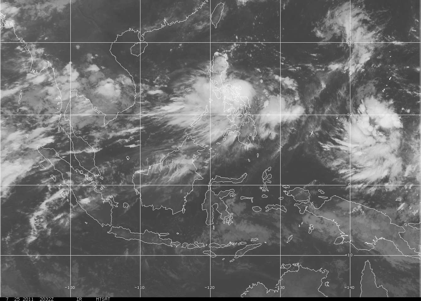
When NASA's Aqua satellite passed over Tropical Depression 10W on July 25 at 04:41 UTC (12:41 a.m. EDT), the infrared image captured by the Atmospheric Infrared Sounder (AIRS) instrument revealed a large area of very cold cloud top temperatures (-63F/-52C) from strong thunderstorms over the central Philippines. A second area of strong thunderstorms on the eastern side of circulation was over the Philippine Sea.

On July 25 at 06:00 UTC, Tropical Depression 10W's maximum sustained winds were near 30 knots (34 mph/55 kmh). It was about 335 nautical miles (385 miles/ 620 km) east of Manila, Philippines near 13.8 North and 126.4 East. Tropical Depression 10W (TD10W) is moving to the northwest at 9 knots (10 mph/17 kmh).
Satellite imagery has shown that the bands of thunderstorms feeding into the center of TD10W's circulation. TD10W continues to become more organized. The system is in an area of low to moderate wind shear which is enabling it to become better organized.

At 11 a.m. EDT on July 25, a weather station in Daet, Philippines was reporting thunderstorms and rain, with winds from the west at 11 mph. Daet is the capital municipality in the Camarines Norte province. The local forecast calls for TD10W to affect the city through the day on July 26.
The Joint Typhoon Warning Center forecasters expect TD10W to slowly intensify over the next two days and make landfall northeast of Hong Kong later this week.

Tropical Depression 10W (Ten) Warning #05
Issued at 25/2100Z
Commenting rules and guidelines
We value the thoughts and opinions of our readers and welcome healthy discussions on our website. In order to maintain a respectful and positive community, we ask that all commenters follow these rules:
We reserve the right to remove any comments that violate these rules. By commenting on our website, you agree to abide by these guidelines. Thank you for helping to create a positive and welcoming environment for all.