Rare heat burst event in Iowa, US
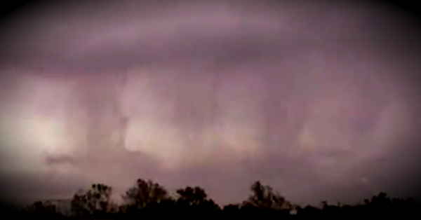
A rare heat burst occurred on Thursday in Bussey, about 50 miles southeast of Des Moines, Iowa, when suddenly temperatures spiked more than 10 degrees. Data from the Mesonet/KCCI Schoolnet 8 weather station shows the sudden temperature change shot up from about 74 degrees to about 85 degrees and at the same time the dew point dropped from about 73 to about 54. It started about 8 a.m. and was over by about 10 a.m.

The weather station also recorded a sudden change in the peak wind gusts, jumping from about 15 mph to about 60 mph at about 8 a.m. National Weather Service reported non-thunderstorm wind gusts of 60 mph at 8:12 a.m. The Pella Airport also reported a wind gust of 76 mph 08:11 a.m according to KCCI-TV in Des Moines.

If the air is very high aloft and the air is much more dense than the surrounding air then it will accelerate toward the surface. In the case of a heat burst, all the precipitation that cooled the air aloft has been vaporized. Therefore, the precipitation can no longer absorb latent heat. As this dense air accelerates toward the surface it rapidly warms at a dry adiabatic lapse rate compression. What must make a heat burst so rare is that this downdraft must reach extremely high velocities. Velocities must be high enough so that the momentum of the sinking air offsets the fact that it is becoming warmer in temperature and thus less dense than the environmental air it is falling into.
Not only is the air in a heat burst anomalously hot but it is also extremely dry. The extremely high temperatures combined with extremely dry air plus the wind can remove all the moisture out of vegetation. Just like any atmospheric phenomena, heat bursts have differing intensities. The worst heat bursts persist for a significant amount of time and have temperatures that go over 120 F, even in the middle of the night. This extremely hot and dry air can remain in place for several hours before temperatures return to normal.
Commenting rules and guidelines
We value the thoughts and opinions of our readers and welcome healthy discussions on our website. In order to maintain a respectful and positive community, we ask that all commenters follow these rules:
We reserve the right to remove any comments that violate these rules. By commenting on our website, you agree to abide by these guidelines. Thank you for helping to create a positive and welcoming environment for all.