Jelawat slams into Japan
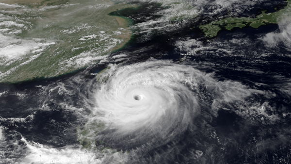
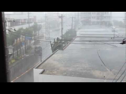
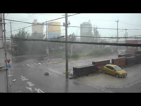
Jelawat has turned northward as forecast and is projected to turn northeastward this weekend with direct, dangerous impacts on Japan, bringing flooding rain, monstrous seas and damaging winds. Jelawat lost its supertyphoon characteristics on Friday. Typhoon Jelawat was bearing down on Okinawa on September 28, 2012. Forecasts called for the eye of the storm to pass over or close to Okinawa as a category 2 or 3 typhoon on September 29. Jelawat was predicted to approach Japan’s main island of Honshu as a category 1 typhoon or tropical storm late on September 30.
Jelawat became the second super typhoon to pass over the region in two weeks: Sanba was just there on September 13-14.
Jelawat will track through progressively cooler waters and drier air which will weaken Jelawat before reaching the Ryukyu Islands. However, the system will remain strong over deep warm water into the end of the week. Stronger steering-level winds farther north will turn Jelawat toward Japan and cause its forward speed to increase.

A landfall of a severe tropical system will likely occur on Sunday evening as it charges north effecting the Kii Peninsula first and then Tokyo in the over night hours in to Monday. Tropical storm conditions are possible in Tokyo Sunday into Monday. If Jelawat were to track northwest of Tokyo, the city could be hit by damaging wind and if the storm were to pass just to the southeast of the city, the metro area could be hammered by flash and urban flooding.


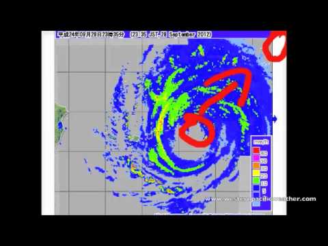
Radar
- Okinawa (JMA)
- Amami (JMA)
- Miyakojima/Yaeyama (JMA)
Satellite Animations
- Storm-Centered Infrared (MTSAT2; NOAA/SSD)
- Storm-Centered Infrared (Aviation Color Enhancement) (MTSAT2; NOAA/SSD)
- Storm-Centered Water Vapor (MTSAT2; NOAA/SSD)
- Storm-Centered Visible (MTSAT2; NOAA/SSD)
- Storm-Centered Visible (Colorized) (MTSAT2; NOAA/SSD)
- Tropical West Pacific Infrared (MTSAT2; NOAA)
- Tropical West Pacific Enhanced Infrared (MTSAT2; NOAA)
- Tropical West Pacific Water Vapor (MTSAT2; NOAA)
- Tropical West Pacific Visible (MTSAT2; NOAA)

Featured image credit: MTSAT-2 on September 27, 2012.
Commenting rules and guidelines
We value the thoughts and opinions of our readers and welcome healthy discussions on our website. In order to maintain a respectful and positive community, we ask that all commenters follow these rules.