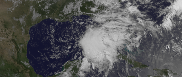
Tropical Storm Andrea tracked by GOES East satellite

NOAA's GOES East satellite has captured imagery of the storms development in Gulf of Mexico in period from June 4-6, 2013.

Source: VFS
Featured image: Visible satellite image of TS Andrea by GOES East at 13:15 UTC on June 5, 2013. (Credit: NOAA/GOES)

Commenting rules and guidelines
We value the thoughts and opinions of our readers and welcome healthy discussions on our website. In order to maintain a respectful and positive community, we ask that all commenters follow these rules.